
Geographic Information Systems (GIS) provides a platform to view, analyze, and interpret data that informs local and regional transportation planning efforts.
Please visit WCOG’s Interactive Map to view more information regarding:
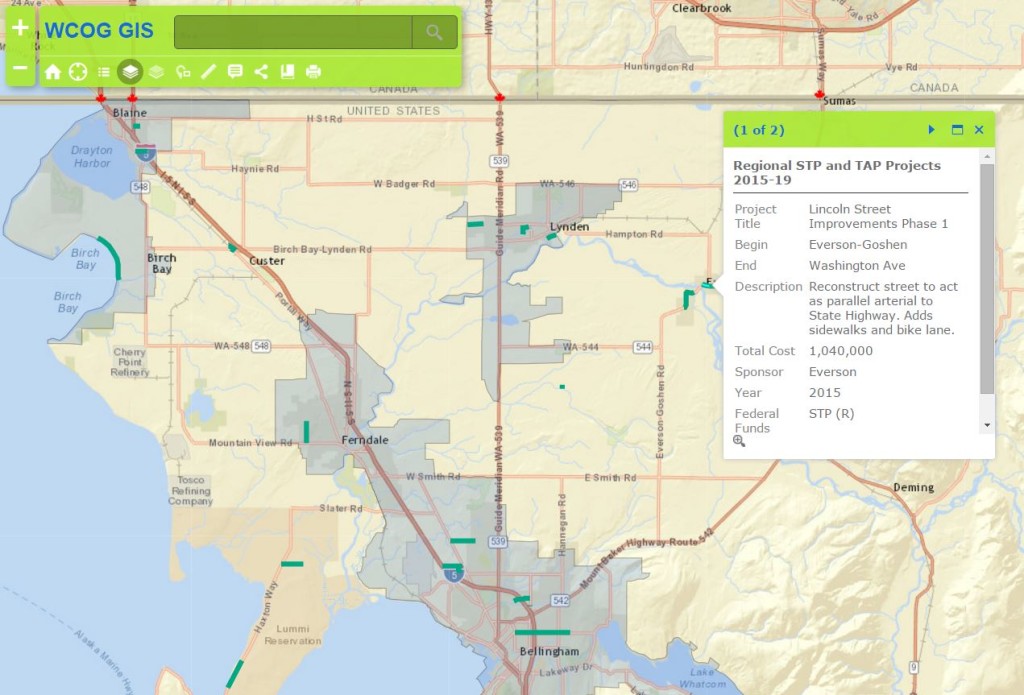
- Current regional Surface Transportation Program projects
- Boundaries
- City and County Limits
- Urbanized Areas and Urban Growth Areas
- Transportation Analysis Zones
- Roads
- Traffic counts
- Regional Significant System
- Federal Functional Classification
- Freight and Goods Transportation System
- Transit routes (Whatcom Transportation Authority)
- Railroads
- Park and Ride Lots
- Ferry Routes
- Scenic Byways
Environmental Justice
Environmental Justice (EJ) is the practice of identifying and addressing disproportionately high adverse effects of transportation investments on minority groups and low-income communities to help ensure equitable distribution of both benefits and burdens. Current map illustrating sensitive population location areas in Whatcom Region can be found here.
For further GIS information or requests, please contact the following at WCOG, (360) 676-6974:
Lethal Coe, Principal Planner: lethal@wcog.org
Jaymes McClain, Senior Planner: jaymes@wcog.org